District Meetings And First Round Of GIS Stocktaking
The objectives of the exercise
- Implement a stocktaking of FLR intervention across the country (including GIS information, private sector participation, and other data parameters)
- Engage government officers from the all the districts to engage in this effort and provide primary data (geographical – GIS, and other to be requested) on the current FLR interventions in their district.
- Create a harmonized GIS database of ongoing/completed projects, map and quantify all FLR interventions at district levels, including those been implemented by AREECA partners (FAO, World Bank, USAID, and other development partners).
- Share knowledge on NBS and GIS spatial analysis for prioritization of priority areas for FLR and NBS implementation.
Outputs of the Phase I of FLR Data Collection Exercise
The exercise and its outputs allowed the AREECA team working together with Department of Forestry and other national stakeholders:
- To identify FLR interventions overlaps, major gap areas under the class of “highly degraded areas” without any ongoing FLR interventions
- incorporate ground truth data in the updating of the FLR strategy and its mapping of priority FLR areas
- Build the business case for the targeting priority areas for government financing or other financial opportunities
Their contribution to the activity was dependent on the officers participation in the prior data collection exercise. Template for data collection was sent to districts two weeks before the activity. Both activities helped the AREECA team to collect District officers’ local knowledge of the FLR interventions and in case of missing coordinates – they participated with the AREECA GIS team to map all FLR interventions in the country.
Pre-Data Collection Exercise Participation
- Officers were pre-selected based in their interest, capacity to provide data and availability to participate in the activity.
- The proposed officers were informed of their nomination to participated in the activity held in May/June, 2023.
- Prior to the AREECA team visit to respective districts, district officers were sent data collection template that needed to be completed online and provided the information available in the districts.
Participation varied between the districts in first round of data collection during this task. AREECA GIS team reviewed submitted data and identified major gaps in the data and quality prior to going to districts
FLR Stocktaking field data collection exercise
- Stocktaking exercise was carried out to collect, store and integrate district wise database with metadata of FLR intervention across the country and other data related to private sector participation in Landscape restoration, community engagement and other parameters of interest to AREECA.
- Districts were targeted separately based on administrative regions
- District officers were selected to participate and covered with expenses (transportation, fuel, food).
- District officers were selected to attend the activity only for those days assigned for attendance.
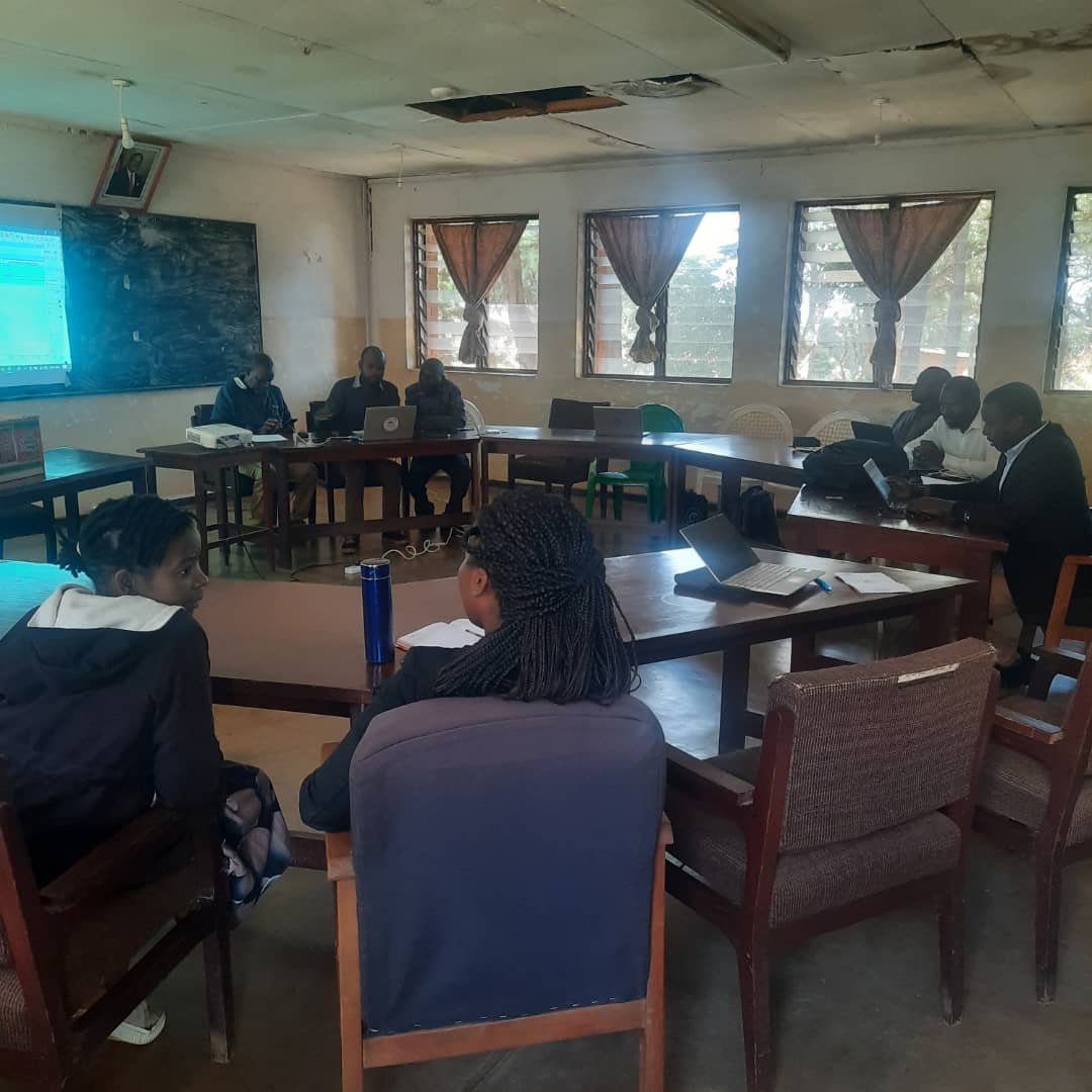
- District officers were requested to bring previously submitted data (excel sheets), so that AREECA GIS and DoF team could review and map spatial database, locate the projects with wrong coordinates, using district team’s local knowledge of geography and carry out quality control exercise.
- All participants during workshop supported the mapping of FLR interventions with and without spatial information available. Team was facilitated with high resolution image-based maps to identify missing areas with the help of district team and their geographical knowledge of the respective districts.
At the end of field activity 11,721 interventions/Projects were mapped across the country during Phase I, including the database following FLR template. A snapshot of spatial distribution of these projects and associated database is shown in Figure 1.
Figure 1 Mapped projects with geodatabase at the end of field data collection exercise
Data Gaps
Despite of sending template two week prior to activity, some districts under performed in terms of data reporting. AREECA GIS team in coordination with DoF tried to retrieve data from these district to complete the database by the end of August 2023. Chitipa, Karonga, Nkhatabay, Salima, Phalombe, Mwanza and Thyolo are the districts under reporting the data during the activity.
Participation and Logistics
To ensure efficacy of the exercise, districts were sent data collection forms to submit before attending the activity. Three officers from each district (DFO, M&E, LRC officer) were planned to carry out this field data collection and six days of lunch allowance and fuel were provided to cover their cost.
Table 1 District participation during the assignment
| Region | Number of District | Personnels from District | Support staff | Number of days in field |
| Northern | 5 | 15 | 5 | 6 |
| Central | 9 | 27 | 9 | 6 |
| Southern | 13 | 39 | 13 | 6 |
| Total | 27 | 81 | 27 | 18 |
For phase I data collection exercise, AREECA GIS team were accompanied by one DoF representative to all the district offices. DoF officials were responsible for organizing these meetings at district offices for AREECA team to interact and collate the information with district team.


