Validation Workshops For Data Finalization And Reporting
The objective of the Validation workshop was to validate the mapping and quantification of FLR interventions at district level and to finalize a harmonized GIS database of ongoing/completed projects. Phase I data collection activity was done during May-June 2023 at district level as explained in previous section of the report. Validation workshop aimed at finalizing the database that was created last year, fill data gaps and capture additional project data in the events of new projects starting after May 2023.
Additionally Future opportunity mapping of FLR interventions was also carried out during workshop. Participants were given hard copy maps of their district to identify future intervention under five categories, best on model suitability results.
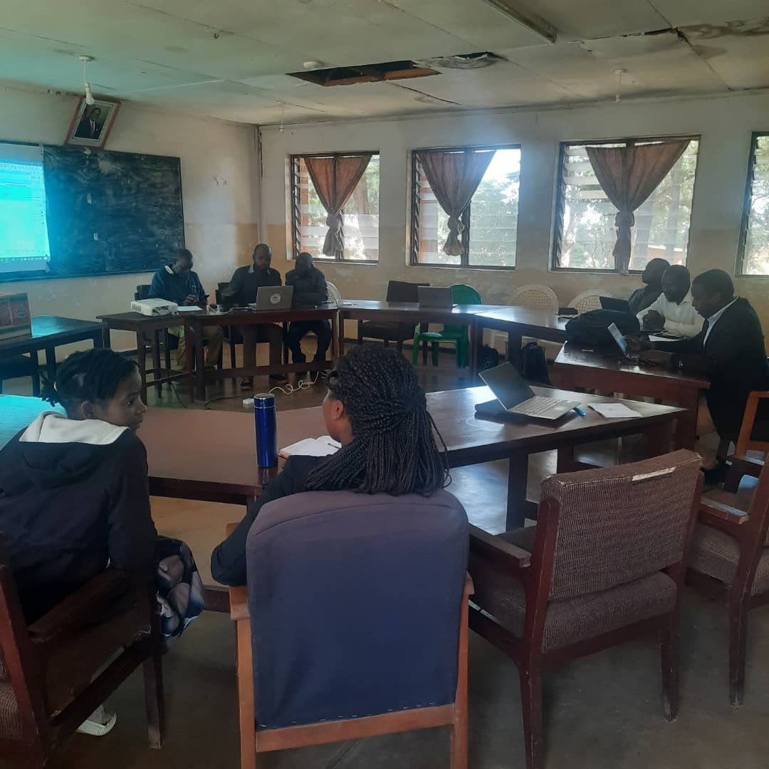
Two separate workshops were hosted in Mzuzu and Blantyre and thirteen to fourteen districts were invited in each of them. Prior to the workshop, district team were sent district wise data to review and identify gaps and bring the additional data to the event. Their presence at workshop facilitated the team to map all interventions to date with the help of their local knowledge of area in case of missing coordinates. Also, opportunity mapping was carried out using GIS overlay maps and their local knowledge of FLR hotspots with no ongoing interventions.
Pre-Workshop Planning and Preparation
All the districts were communicated 2 weeks prior to the workshop for preparation and collection of additional datasets, if available, at district level. Opportunity maps were shared to perform some field verification and identification of future opportunities.
Mapping of existing database per district was carried out with overlay of updated degradation map to identify priority areas. More than 100 opportunity maps were composed (Figure 2) to cover all the districts under five FLR intervention classes to facilitate the mapping during the workshop. 28th District of Likoma was included in the program as they were not visited earlier due to logistical issues.
Stocktaking result map overlaid on Degradation |
Agricultural Opportunity Map |
Forest Management and Community Forest and Woodlot Opportunity Map |
Soil and Water Conservation and River Bank Protection Opportunity Map |
Figure 2 Example of District maps showing initial stocktaking results and basemaps to locate future opportunities
Workshop Agenda
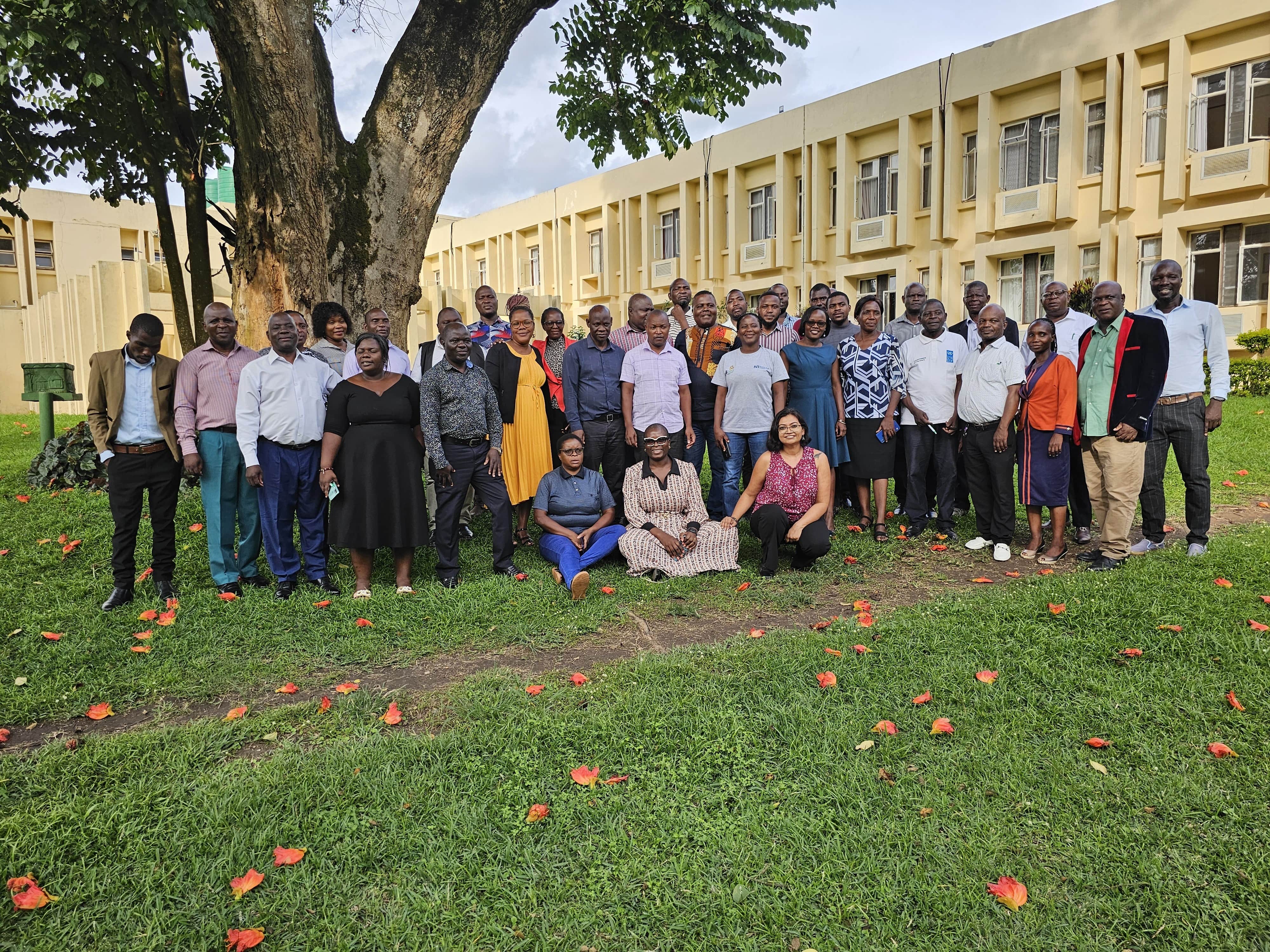
Districts were targeted through two separate workshops held in Mzuzu and Blantyre. Fourteen districts were invited for each one and half day long workshop. The world Bank, IUCN and Department of Forestry jointly hosted the program. Two officers from each district were invited to the event namely, District Forest officer (DFO) and Land Resource Conservation Officer (LRCO). Department of Land Resource Conservation (DLRC) also attended the events. Total number of Participants in each workshop were forty excluding support staff. Agenda for the workshop is presented in Table 3. Detailed list of participation is presented in Annex 2.
Table 3 Workshop Agenda
Outcomes of Validation Workshops
- Review and collection of additional spatial data submitted by district team and carry out quality control exercise to identify errors and gaps. Merging of the database with previously shared data to eliminate double reporting.
- In person sessions with district team during workshop to map the interventions with no spatial information available. Team was facilitated with high resolution image-based mapping and identify missing areas with the help of district team and their geographical knowledge of the respective districts.
- Collate and integrate district wise database with metadata.
- FLR opportunity mapping was done using overlay maps of potential areas under five classes (Improved agricultural Technology, Soil and Water Conservation, Riverbank protection, Forest Management, Community Forest and Woodlots). District wise summary of opportunity mapping is presented in Figure 3. Each district was given thematic maps to work on along with High resolution images. District team used this information and their local knowledge to locate and identify future opportunities, which further were scanned and georeferenced by GIS team at headquarters.
- District wise reporting of FLR status and future opportunities. An example report from Zomba is attached as Annex 3
Table 3 Finalized stocktaking results post workshop
Figure 3 Future opportunities/projects identified using participatory approach.


